DRONE BASED SERVICES
EDALL SYSTEMS, provides service in the field of image processing support, generates different Outputs from aerial images with the help of ground control points. We are providing this service for land audit, Town planning, Irrigation, Industrial Area survey.
UAV based Aerial Survey & Mapping
We offer a end to end solutions in UAV Based Services and Mapping. This include from aerial image acquisition to post processing UAV (both VTOL, Fixed Wing) system are used for low-cost, high-resolution aerial photography. The UAV output can be used to generate Ortho-photos with a ground resolution up to 2.0 cm and high-resolution digital elevation models (DEM’s). Applications include, but are not limited to, construction, exploration and mining, forestry, agriculture, surveying, search-and-rescue,
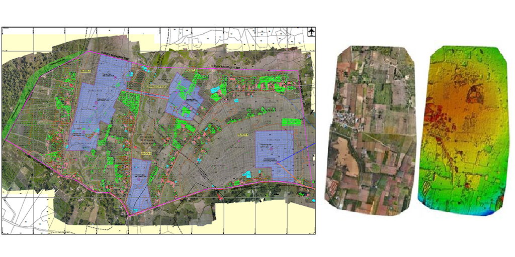
Railway Corridor Mapping
Mapping of railway corridor makes easy for the development of projects easy and with the help of drones.
- Validation of Track Center and alignment
- Power line crossings.
- Over line Structures.
- Retaining Walls.
- Electrifying of Tracks.
OUTPUTS:
- Orthomosaic
- Digital Elevation Model
- Auto cad 2D &3D
- Time based video inspection
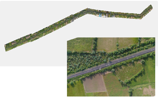
Town Planning
EDALL SYSTEMS, provides service in the field of image processing support, generate 3 point cloud from aerial images with the help of ground control points , providing various GIS based Out put. We are providing this service for land audit, Town planning, Irrigation,Industrial Area survey.
Outputs :
- Orthomosaic
- Contour
- 3D Model
- Digital Surface Model
- Digital Terrain model ( By removing trees and buildings).
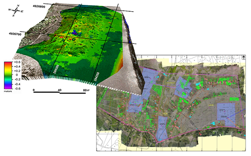
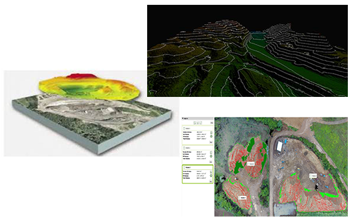
Mining Survey
- Accurate, georeferenced DSM’s.
- Volume measurements.
- Resource Calculations.
- Digitize models.
- Mine development report
- Structural and terrain analysis.
- Iteration mapping and target generation.

Road Corridor Survey
Road Corridor Mapping Makes easy for
- Alignment of Divider.
- Overline structures.
- Boundaries
- Electric lines for Street Lights
- Expansion of roads.
- Power lines crossings.
Industrial UAV Inspection Services
Using professional aerial inspection services and industrial grade inspection drones, an asset manager can reduce the time that inspection personnel needs to spend on the asset itself. So long as a mission’s flight route has been well planned, a drone can collect imagery data that covers the entire asset in a fraction of the time that it takes for inspection personnel to traverse it.
It is usual that both visual and thermal imagery is collected.
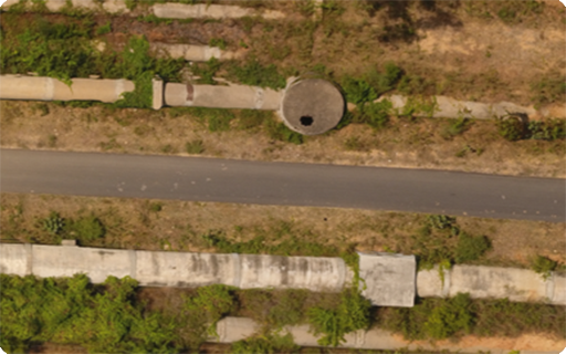
Pipeline Inspection
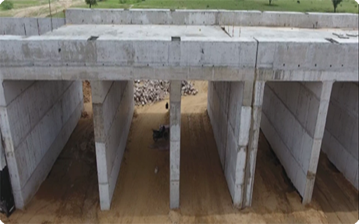
Bridge Inspection
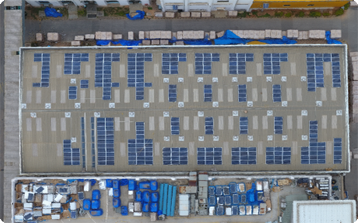
Solar Panel Inspection
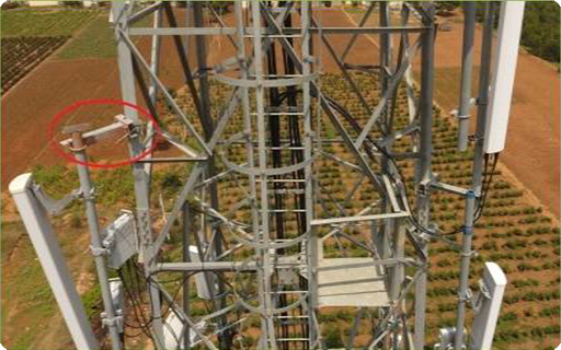
Cell Tower Inspection
